Corpus Christi Terminal Seagrass Survey
 Corpus Christi Terminal Seagrass Survey
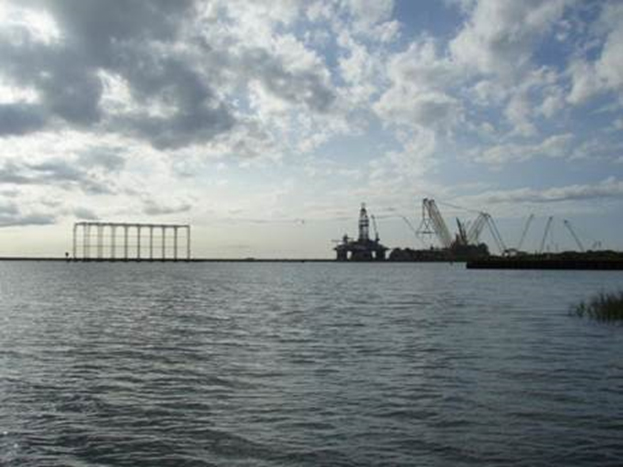
BIO-WEST was contracted by a proprietary client to identify and map seagrasses and tidal marsh communities within the vicinity of a proposed commercial terminal and berthing area. Data collection efforts were used to negotiate mitigation in support of environmental permitting. Seagrasses were mapped within the property boundaries from the water’s edge to the outermost extent in the LaQuinta Channel. Tidal marsh communities were mapped within the property boundary from the base of an existing bluff at the higher high water mark out to the water’s edge. Environmental documentation was collected to support environmental permitting and mitigation efforts. Seagrass beds were identified visually in shallow areas with clear water and mapped using a handheld, real-time differentially corrected GPS. Deeper seagrass beds were identified by snorkeling along a kayak with a clear bottom for viewing the substrate. 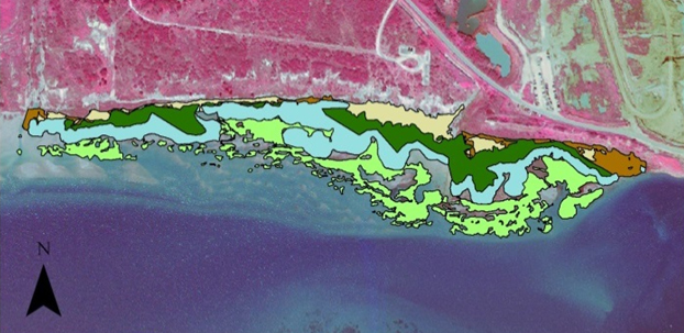 In addition to mapping seagrass boundaries, seagrass composition and density data were also collected. BIO-WEST documented seagrass species, percent coverage, and stem counts within the mapped boundaries. To measure seagrass coverage, quadrats were placed randomly on the substrate throughout the identified seagrass beds to allow percent coverage estimates.
