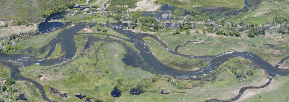

BIO-WEST offers a wide range of GIS capabilities and products. Our GIS staff have advanced degrees in both natural resources and geography, which provides a thorough understanding of the potential applications of spatial information. We specialize in collecting and analyzing natural resources-related information. BIO-WEST uses spatial data to document and model natural and human processes from biological inventories and habitat mapping to impact assessments, land use planning, and urban growth. Our software and programming abilities allow us to present derived information in a variety of formats, from traditional printed maps and atlases to web-based mapping products, such as Google Earth.
GIS Analysis and Planning Products:
- Zoning
- General Plans
- Automated Impact Assessment
- Planning and Environmental Linkages (PEL)
- Alternative Futures
- Rare and Endangered Species
- Predictive Mapping
- Elevation Data
- Flythroughs
- Area/Volume Calculations
- Surface Hydrology
- Aerial Photo Interpretation
- LIDAR
- Google Earth
Data Services:
- Geodatabases
- Metadata
- Cartography/Atlas
- Statistical Analysis
- CAD Microstation Integration
Scripting/Automation:
- ArcGIS Data Models
- Python Scripting
- Custom GIS Tools
- Task Automation
- Excel Input/Output
