Hydrographic Data Collection and Channel Design
Middle Rio Grande Hydrographic Data Collection
and Channel Design

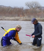
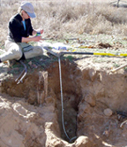
 BIO-WEST provided hydrographic data collection; geomorphic, hydraulic, and groundwater studies; and analyzed data collected under each task. Project work consisted of cross-section monitoring and hydraulic monitoring, river topographic surveys, geomorphic assessments, bed material sampling, suspended sediment and bedload sampling, stream gauging, water quality sampling, Manning’s n calibrations, sediment load calculations, sediment transport modeling, reservoir resurveys, planning and designing of structural and nonstructural river features, designing habitat improvement/restoration plans, and designing and monitoring wetlands. The project area covers the US Bureau of Reclamation’s Upper Colorado Region in New Mexico, Utah, southern Colorado, and southwestern Texas. The majority of work was performed in the Rio Grande basin.
Project Tasks
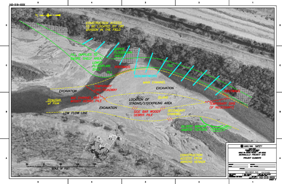
- Bernalillo to Alameda Bridge River Restoration Project (provided design alternatives and analysis for habitat restoration for the Rio Grande silvery minnow and the southwestern willow flycatcher (Empidonax traillii extimus) along an 11-mile reach of the Rio Grande just north of Albuquerque, NM). Cross-section surveys and HEC RAS models were developed for the entire reach. Alternative analysis, detailed construction plans, and environmental documents (Biological Assessments and Environmental Assessments) were prepared for two priority sites covering nearly 2 river miles. The Bernalillo Priority Site was successfully constructed in 2006.
- Cochiti Priority Sites (developed designs for two areas with eroding banks downstream of Cochiti Dam near Santa Fe, NM; this included geomorphic data collection, analysis, hydraulic model development, alternatives analysis, construction plan preparation, construction management, and post-construction monitoring).
- San Acacia, Socorro, Los Lunas, Caballo, San Felipe, San Ildefonso, Rio Puerco, and Corrales Siphon Hydrographic Surveys (conducted cross-sectional and/or topographical surveys of the Rio Grande for river monitoring and/or hydraulic model development).
- Arroyo de la Parida Bank Stabilization Project (conducted cross-sectional surveys of the Rio Grande and bank stabilization design alternatives in the Rio Grande near Arroyo de la Parida).


