Ash Meadows National Wildlife Refuge Area
Ash Meadows National Wildlife Refuge Area Ecological Investigation and Restoration Planning
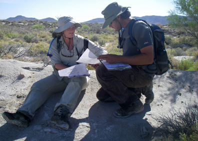
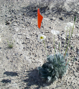
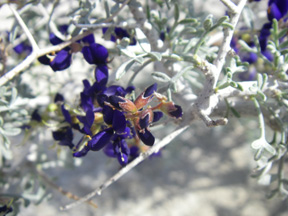
 This multi-year project includes efforts to map vegetation by community to alliance and association levels, and map 17 endemic and sensitive plant species (white bear poppy [Arctomecon merriamii], Ash Meadows milkvetch [Astragalus phoenix], alkali mariposa lily [Calochortus striatus], spring loving centaury [Centaurium namophilum], tecopa birds-beak [Cordylanthus tecopensis], Ash Meadows sunray [Enceliopsis nudicaulis var. corrugate], Darin buckwheat [Eriogonum concinnum], Ash Meadows gumplant [Grindelia fraxino-pratensis], Ash Meadows ivesia [Ivesia eremica], Ash Meadows blazing-star [Menzelia leucophylla], Amargosa niterwort [Nitrophila mohavensis], Parish’s phacelia [Phacelia parishii], Death Valley sage [Salvia funerea], St. George blue-eyed grass [Sisyrinchium radicatum], Death Valley blue-eyed grass [Sisyrinchium funereum], Nevada blue-eyed grass [Sisyrinchium halophilum], and Ash Meadows lady tresses [Spiranthes infernalis]) within the refuge’s nearly 25,000 acres with the intent of providing an understanding of the habitats of the endemic and sensitive plant species at an ecological scale that will guide informed management.
 The objectives of this study are to provide refuge staff with a GIS database containing delineated boundaries of desert, riparian, and wetland vegetation communities, locations of all endemic plant communities, and accurate population estimates and distribution data for each of the rare and listed species. Supplementary data will include an Access® database containing dominant species composition, and topographic and hydrological conditions for each vegetation community. Future efforts include long-term vegetation monitoring within habitat restoration areas on the refuge. BIO-WEST is creating GIS layers showing the different plant communities and proposing long-term monitoring protocols and management recommendations.
 The project also includes a multi-year study of southwestern willow flycatcher (Empidonax traillii extimus) with the objective of providing refuge staff with a GIS database containing delineated suitable and potentially suitable southwestern willow flycatcher habitat, delineated breeding territories, and locations of all observations and nest locations. Annual density estimates, productivity data, and other data pertaining to nest parasites, including the brown-headed cowbird (Molothrus ater) populations, will be provided. Additional work will include the live capture of Bell’s vireo (Vireo bellii) using mist-nets to capture birds and collect genetic samples.

